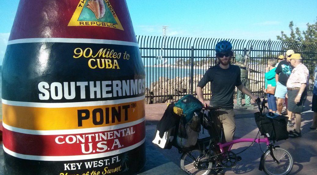
After a 20-odd hour greyhound down to Key West, FL, I unfolded my Brompton, strapped on my gear (a 50L backpack & big ortlieb front pannier), and began my next cycling journey: a mildly-circuitous, ~1,500 km from Key West, FL to Atlanta, GA.
last month I was squinting to see the road through the flurries of snow as I drove my salt-covered Prius down the east coast…Now I’m dipping my toes in the warm ocean in Key West
Just last month I was squinting to see the road through the flurries of snow as I drove my salt-covered Prius down the east coast of the US. I planned to take my time, but I was eager to get out of the snow.

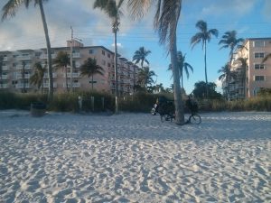
Now I found myself basked in sunshine–dipping my toes in the warm, gorgeous salt waters of Smathers Beach.
My one-night host in Florida worked at a sea kayak joint, and they graciously gifted me time on a kayak to wander the calm, shallow waters of Key West. After a few hours of getting lost in the mangroves on my way out of town, I hit the road and took my time over the next few days cycling from Key to Key until I finally crossed the last bridge into mainland Florida.
I’ve spent the past couple weeks with family in South Florida, but tomorrow I’ll be back on the saddle. Tomorrow I’ll be cycling through Parkland and along State Road 827 (locally known as Browns Farm Road) through the Everglades up to Lake Okeechobee. Google Street View doesn’t cover 20km of the road (it ends abruptly at a barrier in the Loxahatchee Road Boat Ramp parking lot), but it does appear to be intact and available to non-motorized vehicles. Here’s to hoping all the bridges visible in the grainy satellite imagery are still intact!
